
Search first, inspect second, plan last
Public markers and Location Details are source-linked references. Waypoints, routes, filters and saved views are your private planning layer.
Open Map Workspace ›From a place name to a private route
- 01Choose a region
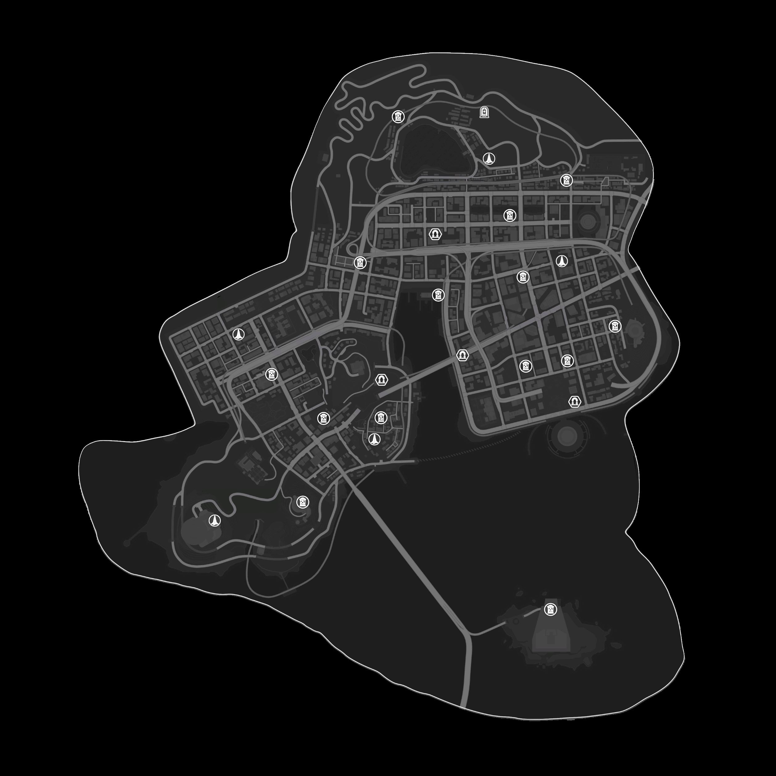
Switch between Hethereau, Warren Continent and Duskmoor. Each region uses its registered real game map.
- 02Search and filter
Search all regions by place name and combine location types when you need a narrower result.
- 03Inspect the record
Open a marker or search result, then use Location Details to review its image, source status and evidence boundary.
- 04Plan privately
Add your own waypoint, arrange a route and save a view. These records stay in this browser and never become public map facts.
Public evidence and private planning stay separate
Registered maps, reviewed markers, source labels and Location Details come from the Atlas evidence records.
Your waypoints, route order, notes, filters and saved views stay on this device unless you export supported data.
A named place without reliable placement remains visible as a record without inventing a marker or coordinate.