
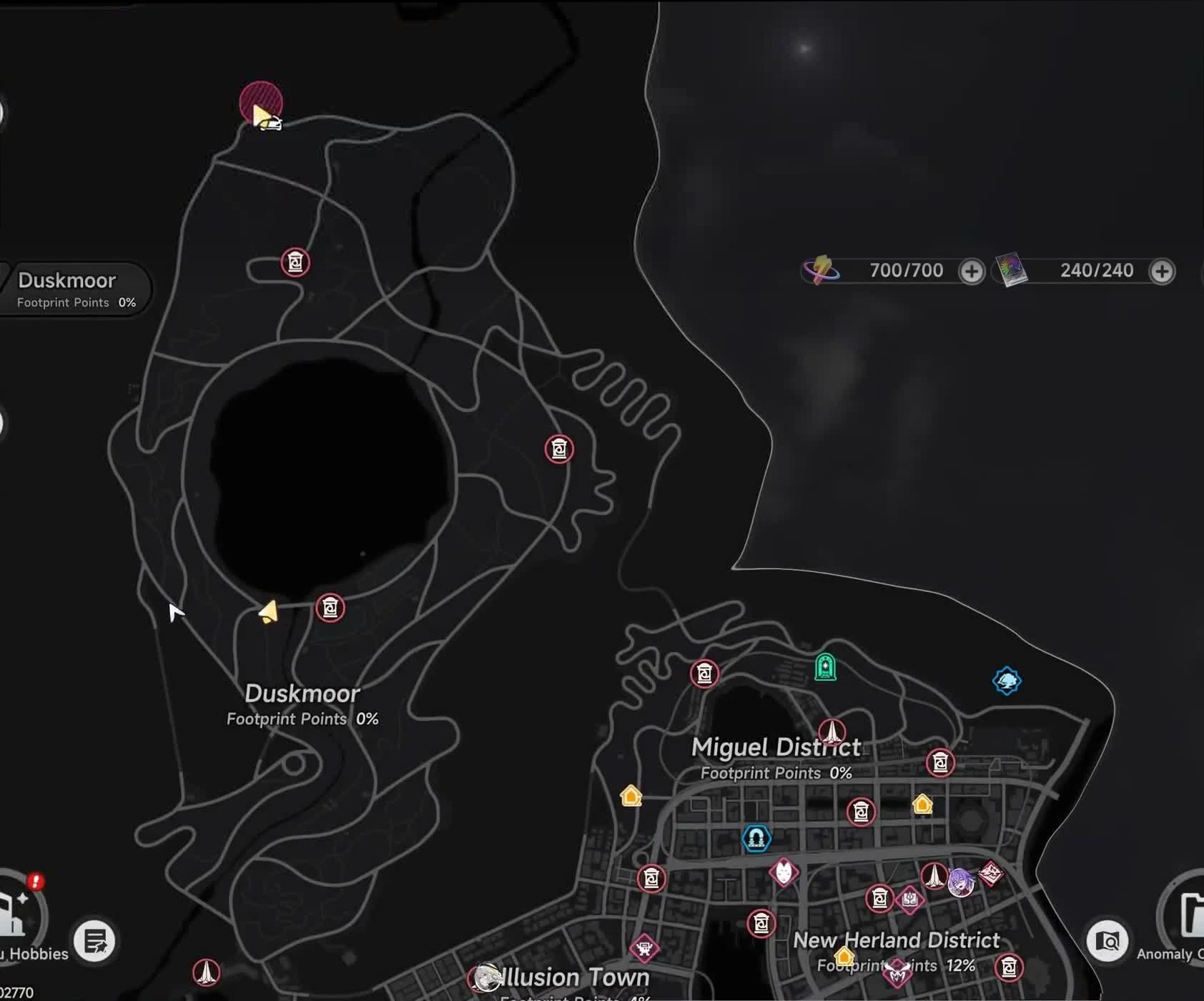
 Position pending
Tearlake at a glance
- Area
- Duskmoor
- Parent
- Duskmoor
- Type
- Landmark
- Evidence
- Confirmed
- Map state
- Position pending
Recognize Tearlake in the game world
This source-labeled scene supports visual identification. Its caption keeps scene recognition separate from map coordinates, entrances and routes.
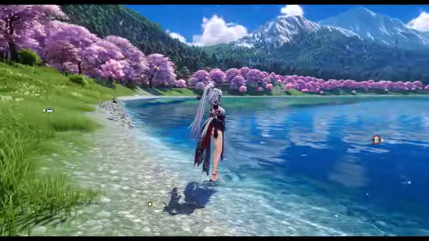
The walkthrough description names Tearlake and the selected chapter shows a Duskmoor lakefront. The frame is contextual and is not treated as a verified shoreline anchor, access point or map point.
Review visual source ›What this record establishes
The official source confirms the name and regional context only. Atlas has no reviewed shoreline, access point or image-space anchor.
Reviewed — placement evidence still needed
The official Version 1.3 notes and a dated current-client walkthrough confirm Tearlake. A fresh public-map and video review still found no named shoreline anchor, selected target or entrance that can be registered to the expanded Duskmoor layer.
Needed next: Capture the Tearlake name and one unambiguous selected map point or stable shoreline label in the same attributable current-client sequence.
Use the record without guessing a destination
Confirm the place name, region and source status before searching in the current client.
Capture the Tearlake name and one unambiguous selected map point or stable shoreline label in the same attributable current-client sequence.